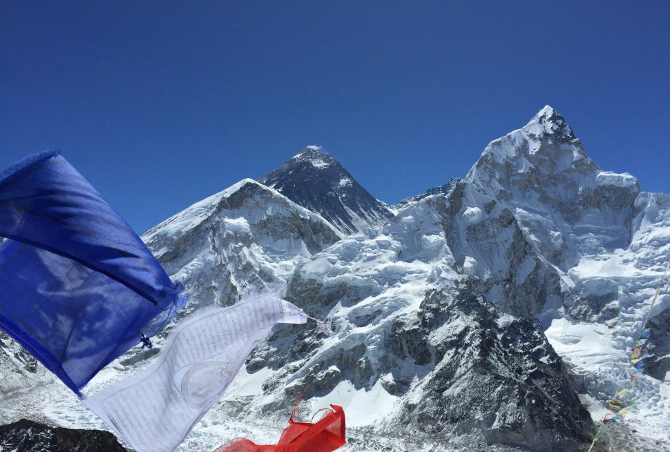
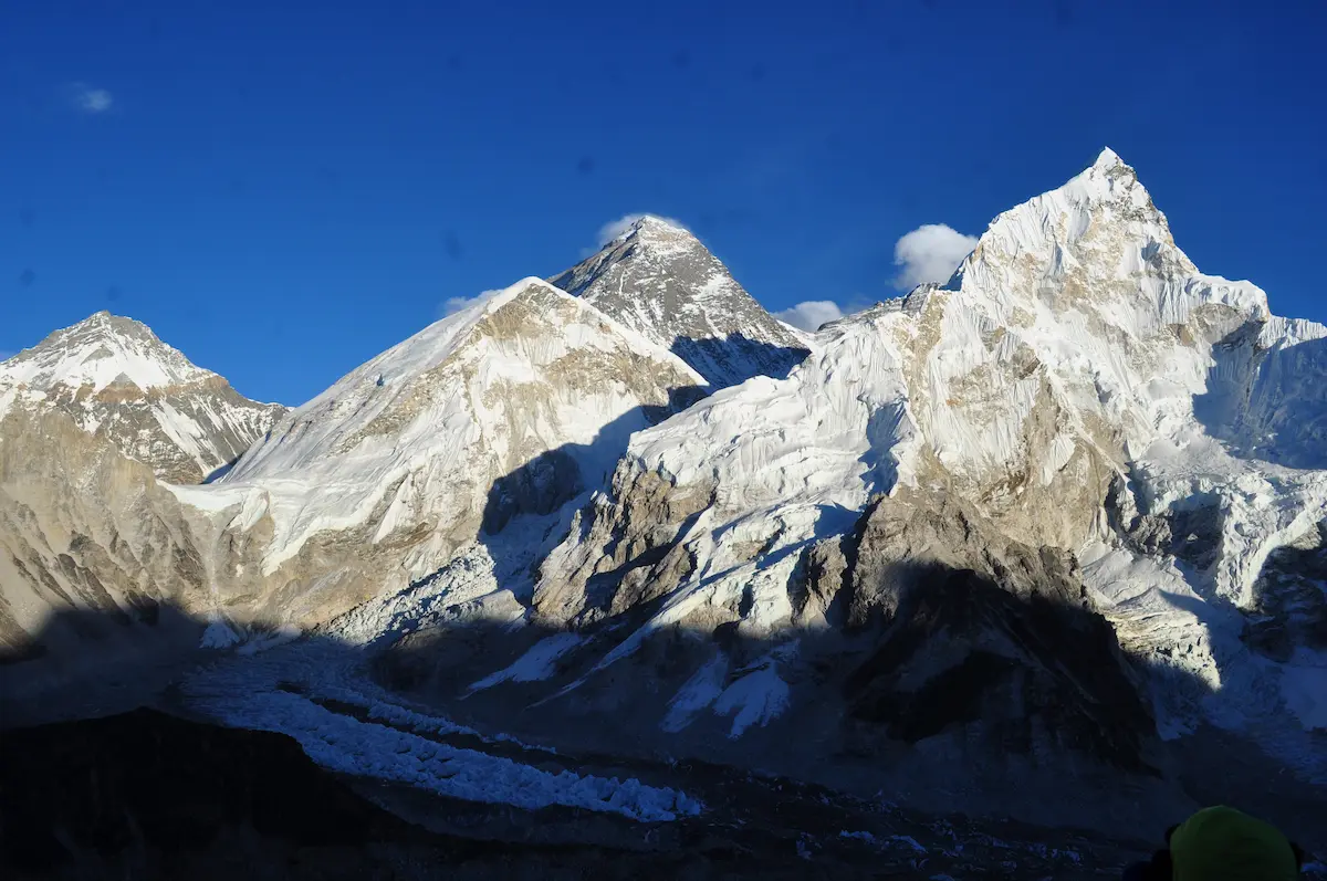
Mount Everest is the highest mountain in the world, located in South Asia, Mahalangur himal range, a sub Himalaya. Geologically, the mountain mass lies in Nepal – Tibet border. The peak is located in Nepal but its North base camp is in Tibetan Autonomous region, China. This article is a detailed information of Mount Everest and its location which is helpful for everyone interested on mountains, expedition and base camp trekking. It is useful for writing blogs and collecting information about the highest peak in the world.
The elevation of Mount Everest is 8848.86 meters above sea level. It is identified by multiple names like Sagarmatha in Nepali, Chomolungma/Qomolangma in Tibetan language, Zhumulangma in Chinese language. It was also named as Peak XV during the British Survey before it was named as Everest.
Where exactly is it located?
Mount Everest is located in 27.9883° N, 86.9253° E, in the border of Nepal and the Tibet Autonomous Region, China. The South Everest base camp is located in Nepal at 5364 m above sea level and the north base camp is located in China at 5150 m. Among the two base camps, south base camp is the most popular destination for trekking camping for Everest Expedition. We can reach the north base camp by driving as well.
Is Mount Everest in Nepal or China?
Mount Everest is in Nepal but the entire mountain mass is located in the border between Nepal and China. The summit is accessible from both countries. North face of Mount Everest is more challenging than Southern Face for expedition. The south base camp is located at 5364 m above sea level in the Solukhumbu district, Koshi Province, Nepal. Similarly, the northern base camp is located at 5150 meters above sea level.
Where is Mount Everest on the world map?
Mount Everest is located on the south Asia, . It is in the sub-Himalayan range bordered with Nepal and China. Being a part of Mahalangur himal range, it shares its basecamp with Mount Lhotse.
How to reach Mount Everest?
Reaching Sagarmatha is a challenging job and a pride of a mountaineer. Firstly, we should go the basecamp and acclimatize properly before ascending the summit.
The best itinerary to reach Everest Base Camp is
- Lukla flight from Kathmandu/Ramechhap and trek to Phakding
- Trek to Namche
- Acclimatization in Namche
- Trek to Tengboche
- Trek to Dingboche
- Trek to Lobuche
- Trek to Gorakshep to Everest base camp
After reaching Everest base camp, we will stay few days and climb to camp 1 and return to base camp until the body get stable to stay on camp 1. Then the similar process continues from Camp II to Camp III. After being stable on Camp III, the climbers tried to climb to Camp IV and return to Camp III two or three times. Then they will descend to base camp and make a summit push. The entire process of Everest expedition takes around 50 -60 days.
Why is Mount Everest famous?
The Mount Everest is famous due to being the highest altitude in the world. It is also considered as the third pole of the earth and water tower for its downstream. The natural beauty of this peak and its surround mountains within Mahalangur himal range, the amazing Sherpa people living in the region, and diverse landscape of the region make it famous.
Best time to visit Mount Everest?
The best time to visit Mount Everest is Spring season. The months of March, April and May has the pleasant weather and stable snow cover for expedition. These months are best to enjoy the scenic view of blooming rhododendron, and snow-capped peaks of Mahalangur himal range. The moderate temperature during this time period is favorable for both trekking and climbing on Everest region.
Conclusion
Mount Everest is the third pole of the earth. It is located in Nepal, but the mountain mass is extended to China. We can climb the summit from both base camps, north and south. The entire Everest region is popular for trekking and expedition. Besides Chomolungma, Mount Lhotse, Makalu, Island Peak, and Cho Oyu are also popular peaks in the Mahalangur Himal range.